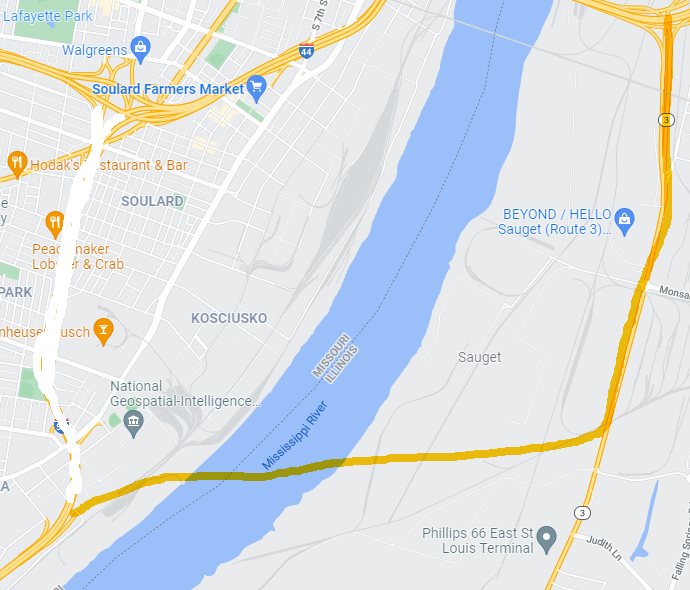
Before the National Geospatial Intelligence Agency moves from its current location along the river, the City, State (MODOT), Federal governments should talk about keeping a slice of the land as an option for a new bridge across the Mississippi, similar to the new I-70 Bridge. The land is already owned by the government, so no eminent domain issues.
The new bridge would take all I-55 and I-44 traffic across the river and tie it into expanded Illinois Route 3 pavement, which already merges nicely with I-64 near the East end of the Poplar Street Bridge.
This bridge would take a big chunk of traffic off the still-clogged Poplar Street Bridge, and allow through-traffic to bypass downtown bridge connections where trucks frequently overturn. And the stretch of current I-44/I-55 from Soulard to the Arch could be made a grade-level street with stoplights -- or eliminated altogether and the street grid restored.
https://drive.google.com/open?id=1YvH1_YezcHLbigUP44nMHFR3ku6StLzM&usp=sharing