wabash wrote:Kevin B wrote:I know, I know, Union Pacific will never sell their right-of-way...
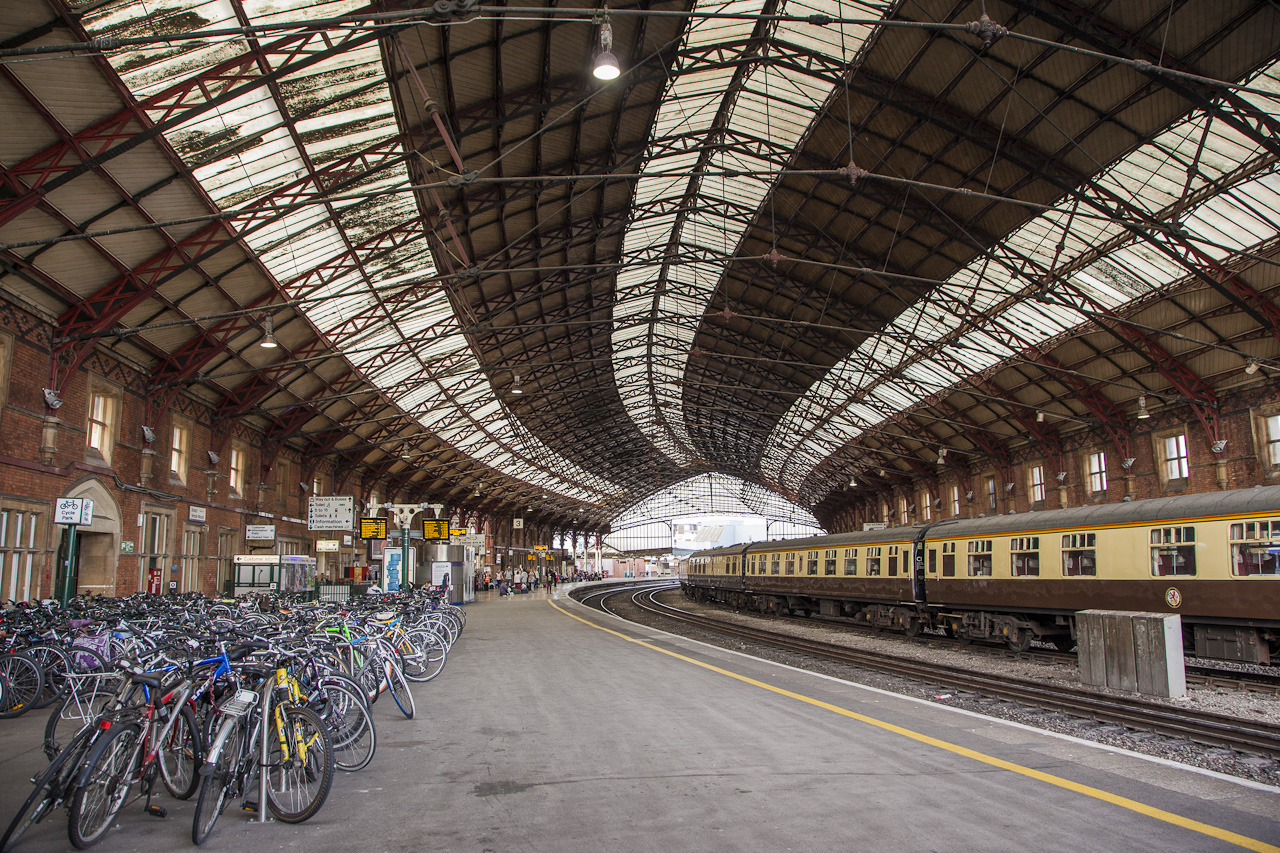
I think the biggest argument against the Union Pacific right-of-way is that it's a bit of a road to nowhere. It doesn't conveniently serve any major Southside neighborhoods because it's buried in a quasi-industrial back alley corridor. But from a commuter standpoint, in terms of serving Carondelet and points south I think it makes a huge amount of sense. The savings, compared to any other means of getting to and through the Southside with independent right-of-way, would be enormous. Can Union Pacific really just hold on forever? Do you think there could be a viable Eminent Domain argument for transporting 25,000 people a day on those tracks as opposed to however much freight they push through? I am under the impression that they don't even use that corridor very much.
Kevin B wrote:arriving at the park just south of the Library and circling the block on the way back
Your map is great, but I don't understand why you'd terminate at the Central Library. There's not a whole lot around it. To me the logical place for a streetcar turn around is Post Office Square since it's so centrally located. I think the Library is just a bit too far west.
Regarding the Southside line, it's biggest virtue would definitely be the project money saved by building in an existing right-of-way. There are two alternatives: 1) clearing miles of building stock and infrastructure to better connect to/through the neighborhoods; or 2) running a line along I-55. Each of these are presumably vastly more expensive and require needless demolition (extensively, for Alternative 1) of some of the City's most intact neighborhoods. And Alternative 2, well, that's even less connective and would likely just result in a bunch of park-n-rides.
The commenters on my blog post tell me Union Pacific has reactivated that line, at least partially. Had the City acted, say, six years ago and bought the right-of-way, we'd likely have it built right now, and pretty cheap too, comparatively. It'll take a little more effort now -- and a lot more money to buy out UP -- but this is THE best route, back alleys or no. It still connects well to cross streets and bus routes and has plenty of opportunity for transit-oriented development. For a City obsessed with big plans and big budgets, this is one that could be done smartly and responsibly.
- - -
Now for the streetcar line (and I agree with STLEnginerd, a lot will have to change in the St. Louis mindset and management to make streetcars feasible), and it's loop location at the Central Library. People are very sensitive about transit encroaching on their precious roadways. Along Gravois and Tucker the street is wide enough to handle wires and rails, but on those CBD streets, not so much...especially if downtown growth trends continue. No, more dedicated E-W bus lines need to exist on Locust/Pine/Olive/Washington/etc, but not a streetcar.
I predict that with the new downtown entryway on Tucker and continued residential development in Downtown West, it is fully justifiable to terminate a line around the Central Library. That subtle shift west is one of the most potentially exciting developments in the City, as the existing building stock is renovated and empty lots are built up.
No, the Central Library is the place for me -- it effectively hits the City core, encourages growth/business, and has more direct access to the three routes (Gravois, Florissant, and Jefferson via Olive) all on streets wide enough to handle the added installations. Also, a personal goal of mine with that Loop configuration would be to rid downtown of some unnecessary park space. Not to say the blocks directly north and south of the Central Library should be fully removed, but at least if your ran a streetcar through them, they suddenly take on more active roles. And hey, it might even result in some smart period-specific bandstands/gazebos/etc. that speak to the City's streetcar-era/past. At the very least, the City will have less park space for which to ignore maintenance!