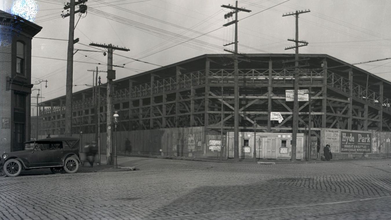
^ You are correct...the stadium has long since been demolished (and I thought it was closer to the corner of Compton and Market originally). I would just move the infield slightly north which would still preserve the field...even if it’s not in the exact location (I thought about marking that and didn’t...guess I should have haha!)
Edit: Compton and Laclede, my bad:
![]()
Edit: Compton and Laclede, my bad: