Here's an article on Salon.com about the changing roles of urban waterways....
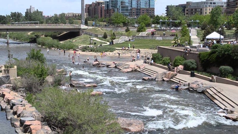
This illustrates a point I've long held about the River Des Peres and our River geography in general, let's use it!
I can easily see River Des Peres turned into a Canal ala San Antonio or Indianapolis. Imagine being able to take a boat taxi from a dock in South City to Downtown via the Mississippi.
I admit the project would need some serious creativity, or else it would end up being like the Delmar Trolley. But how cool would a linear, swimmable, usable water park be? Surely a huge selling point to get families into South City vs the County
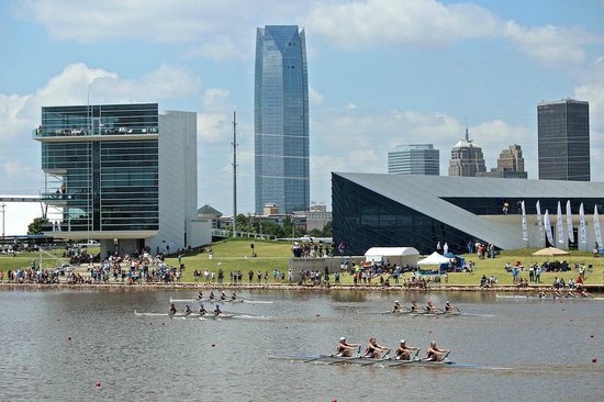
http://www.salon.com/2012/09/15/lets_swim_to_work/Centuries of boat traffic, heavy industry, sewage runoff and toxic dumping have ingrained in us the idea that urban waterways are not places for people. Even as cities have rushed to the water’s edge over the past couple of decades, building elaborate waterfront parks and esplanades, few have taken the next logical step: encouraging residents to dive in.
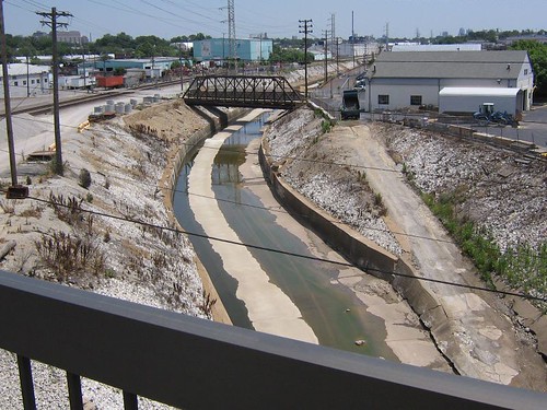
This illustrates a point I've long held about the River Des Peres and our River geography in general, let's use it!
I can easily see River Des Peres turned into a Canal ala San Antonio or Indianapolis. Imagine being able to take a boat taxi from a dock in South City to Downtown via the Mississippi.
I admit the project would need some serious creativity, or else it would end up being like the Delmar Trolley. But how cool would a linear, swimmable, usable water park be? Surely a huge selling point to get families into South City vs the County